Surveying Expertise

LJA sets the standard in advanced surveying solutions. Our expertise guides every project, turning ideas into realities, starting from the ground up.
Technologies_Sheet
cfiles31058
Survey Filler Photo 16

Explore Our Capabilities

  • Boundary Surveying
  • Topographic Surveying
  • Bathymetric Surveying
  • Construction Staking
  • Unmanned Aerial Services
  • Transportation
  • Energy
  • Rail
  • 3-Dimensional Scanning
  • Land Development
  • Hydrographic
Survey Filler Photo 7-min
Employee-Owned. Client Focused.
we work together
We’re committed to providing high-quality, comprehensive surveying solutions, no matter the size or complexity of the project.

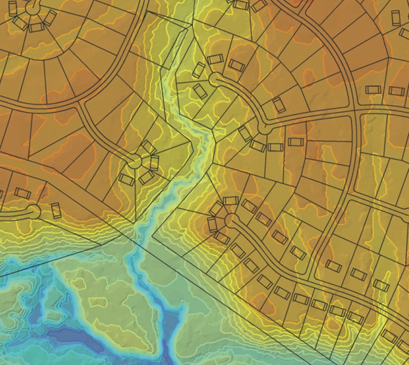
With LJA, every measurement, every calculation and every analysis reflects our commitment to precision and client satisfaction.

Aerial Photogrammetric Mapping

Through our owned-excellence mindset and attention to detail, we were able to deliver a plan that not only met the Southlake’s needs but also had.

At LJA, our aerial mapping and remote sensing capabilities like digital ortho photos are the unseen allies of engineers, designers, developers and environmental scientists working on a multitude of projects.

Our state-of-the-art digital equipment brings out even the smallest details, delivering ortho photos in vibrant color or stark black and white, as per your unique project needs. Further enhancing our aerial photogrammetric mapping, our airborne remote sensing services reveal more than the human eye can perceive.

Hydrographic & Bathymetry Surveys

Through our owned-excellence mindset and attention to detail, we were able to deliver a plan that not only met the Southlake’s needs but also had.

Our highly trained professionals, equipped with cutting-edge technology, transform viable data into user-friendly formats.

With unerring accuracy, we harness state-of-the-art tools such as side scan sonar, single and multi-beam echo sounders, magnetometers and gradiometers, all seamlessly integrated with Real Time Kinematic GPS. We are capable of rapidly profiling and cross-sectioning bodies of water, facilitating the development of detailed bathymetry maps, permitting plans, dredge reports and more.

3D Surveying

At LJA, we harness the power of Advanced Geospatial Technology to deliver first-rate remote sensing solutions.

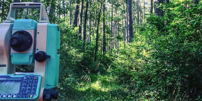
Our 3D surveying services span a broad geographical range, accommodating projects of varying scale, scope and complexity.

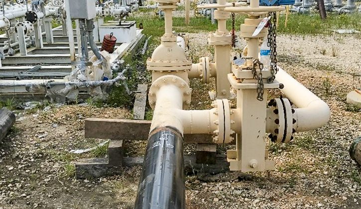
We have the ability to scan 3D models of infrastructure such as buildings, roadways, rail yards, material stockpiles, industrial facilities and natural ground watersheds.

Our technical arsenal of surveying devices and solutions include:

  • Global Positioning Systems (GPS)
  • Geographic Information Systems (GIS)
  • Light Detection and Ranging (LiDAR)
  • High-Definition Laser Scanning (HDLS)
  • Leica ScanStation C10 and P40 Terrestrial High-Definition Laser Scanners
  • Hydrographic Acoustic Imaging
  • Remote Sensing
Our Surveying Sector

is licensed to do work in over 20 states

  • Alabama CA-1176-LS
  • Arizona 22984-0
  • Colorado
  • Florida #LB 8416
  • Georgia LSF001390
  • Idaho No. 4036
  • Kentucky #995
  • Louisiana VRF.0000837
  • Mississippi S-34064
  • Nevada 23362
  • New Mexico 
  • North Dakota 28406LS
  • Oklahoma 8395
  • South Carolina 7090
  • South Dakota C-8491
  • Tennessee
  • Texas 10194382
  • Utah 19613
  • Washington 407008588
  • Wisconsin 6109
More About Our Work

Surveying Resources

From the first measurement to the final stake, discover how our surveying services integrate to craft precise solutions that shape and sustain various communities.

Survey

Our Work In Surveying

Our Impact In Surveying
PROJECTS
Survey Filler Photo 15-min

Do You Have a Surveying Project?

Start your journey with us and experience the LJA difference.