Turning Challenges into Innovation
We’ve worked on numerous “industry firsts,” delivering successful proof-of-concept flights for industrial, commercial, and government clients. This hands-on experience gives us a unique understanding of how UAS technology can drive progress across many sectors.
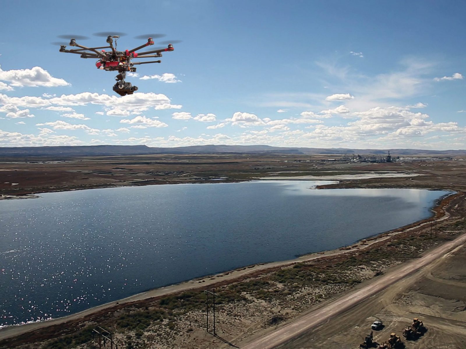
From asset inventory in oil and gas, forestry and agriculture monitoring, and construction surveys to infrastructure inspections, LJA Surveying provides the data you need. We capture high-quality LiDAR data, natural color orthophotography, thermal imagery for methane leak detection, and 4K UltraHD videography, all using the latest UAS technology.
Taking Flight with Confidence
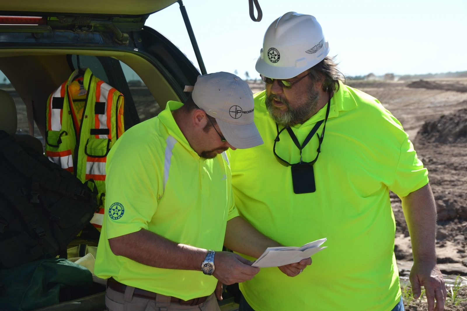
We hire only FAA-certified pilots to fly our UAS. The FAA has granted us Section 333 Exemption to conduct commercial UAS flights in the USA. We are one of 8 companies to pass the rigorous testing and vetting process sponsored by Texas A&M University, TEEX, Lone Star Center for Excellence, FAA, and NASA.
LJA has proudly secured our second and third Federal Aviation Administration (FAA) approval for Beyond Visual Line of Sight (BVLOS) drone flight operations.
Second FAA Approval for BVLOS Drone Operations
Third FAA Approval for BVLOS Drone Operations
By leveraging the benefits of BVLOS flight operations, LJA continues to deliver exceptional value to its clients and propel the industry forward.
Drone Aerial Solutions
- Topographic Surveys
- Power Line Measurements
- Cut-and-Fill Earthworks / Volume Measurements
- Flood Modeling (Hydro-Enforced DEMs)
- Contour Maps
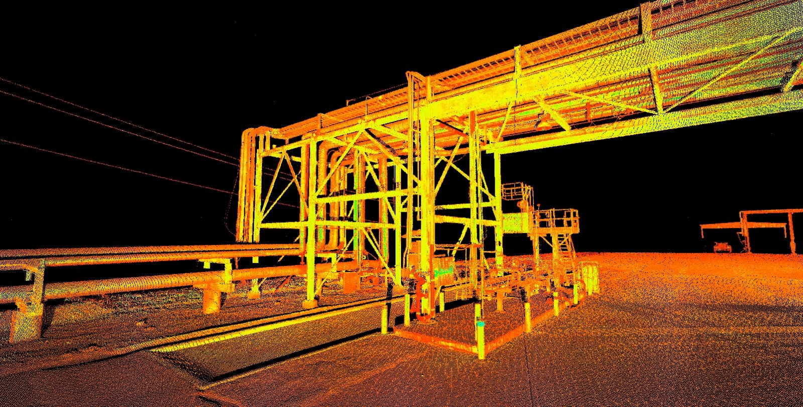
- Colorized Point Clouds
- ROW Vegetation Encroachment Analysis
- Asset Inspection (Bridge and Structure Inspection)
- Thermal Imaging and Inspection (FLIR)
- High-Definition Photos / Video for Inspection
- Gas Leak Detection
- Electric Transmission Line Inspection and LiDAR Mapping
- Green Energy Planning
- Building Information Modeling (BIM) and Facilities Mapping
- Damage Assessment (Storm and Flood Damage
Core Technology
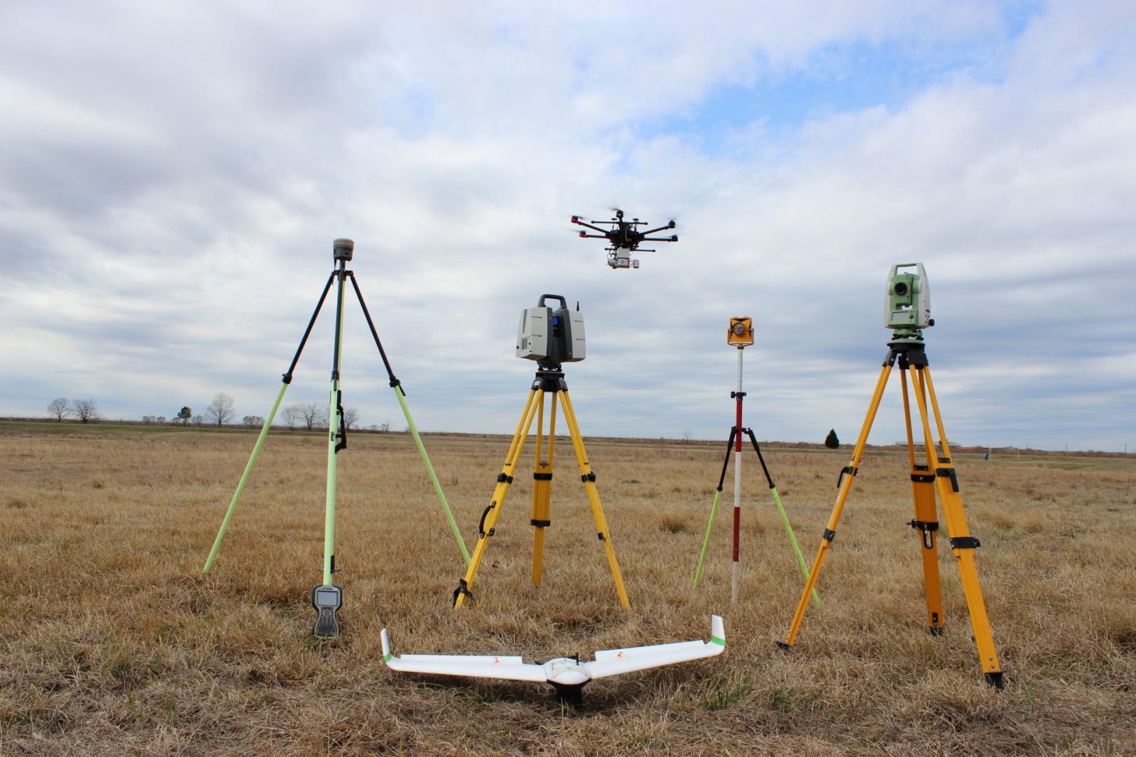
Our core technology includes Global Positioning Systems (GPS), Geographic Information Systems (GIS), Light Detection and Ranging (LiDAR), Hydrographic Acoustic imaging, Remote Sensing, and High Definition Laser Scanning HDLS). We use this technology to deliver services across an expansive geographical area for projects that vary in size, scope and complexity.
LiDAR
UASs with Light Detection and Ranging (LiDAR) provide survey-grade laser mapping and photogrammetry with accuracies down to a few centimeters.
This efficiency allows the creation of 3D models to be used in planning, design, measurement, and decision making throughout a project’s life cycle, including construction and owner occupation.
The demand for UAS LiDAR and other aerial capabilities is continuing to grow. As technology develops, the ability to deliver increasingly better quality and accuracy is more attainable. We utilize the combination of UAS and LiDAR to continue surpassing traditional methods by creating greater cost savings and expedited deliverable timeframes for our clients.
Construction
The use of aerial footage, photos, and data from UASs is changing the way construction companies acquire their survey data.
By using our proprietary ground control points, aerial data collection methods, and Trimble’s R10 RTK GNSS system, we can produce highly accurate map data in any format requested.
Other aerial data such as infrastructure inspections, thermal imagery of machinery to prevent costly break downs, and publicity photos and videos can all be used to a company’s advantage.