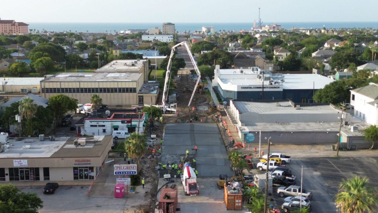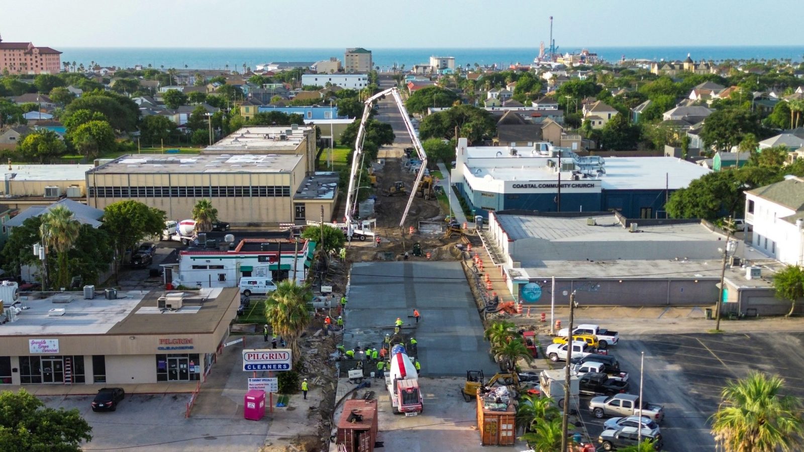
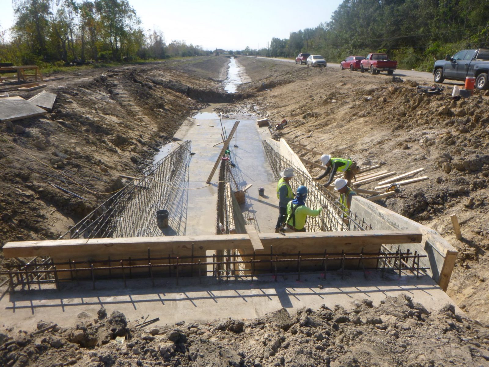
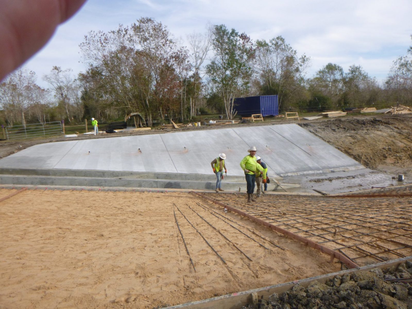
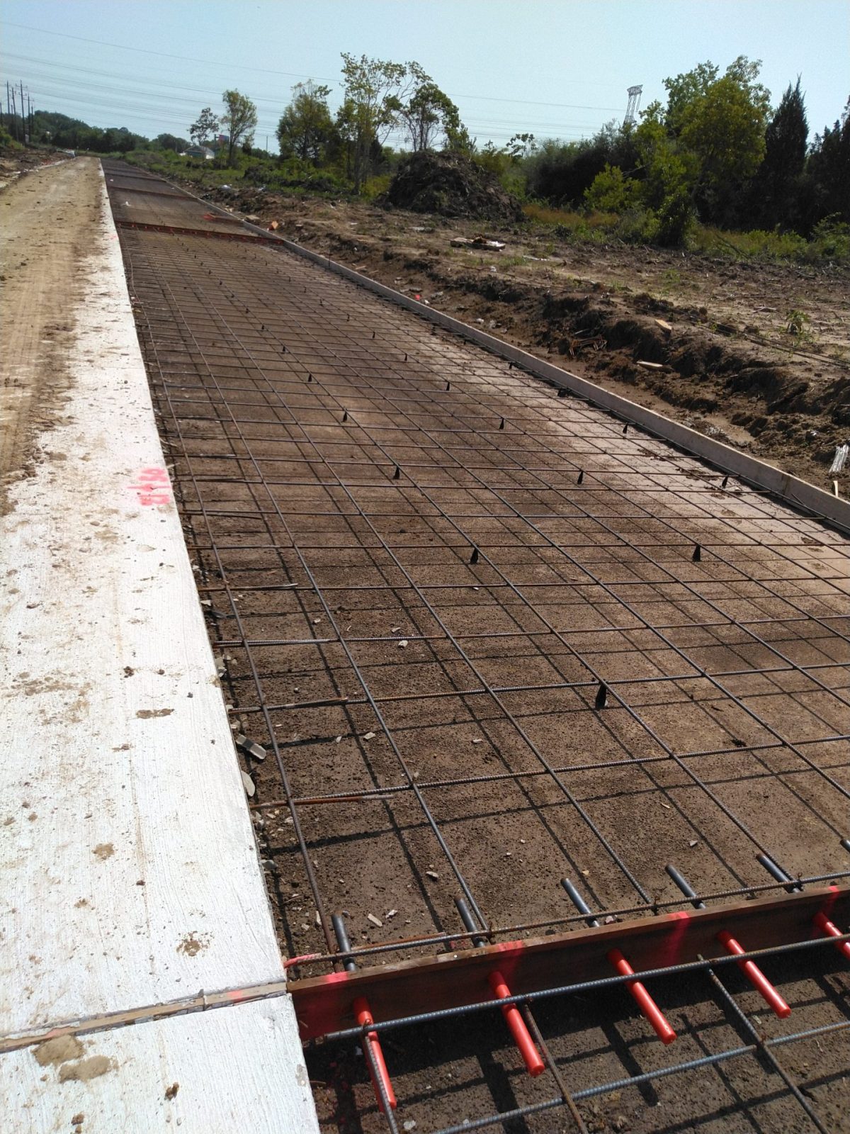


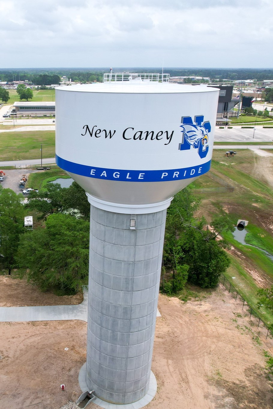
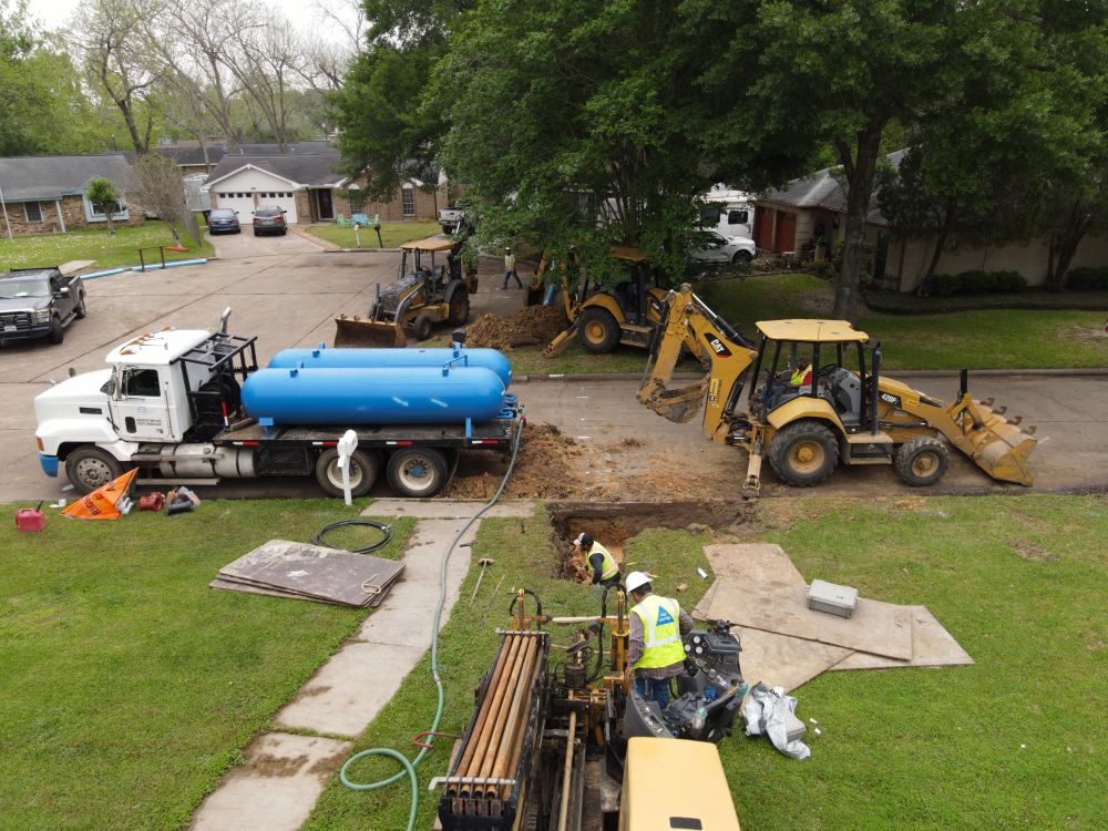
LJA’s mission on this $2.1 million project involved milling and replacing the existing asphalt surface and upsizing the storm sewer u…
Explore Project 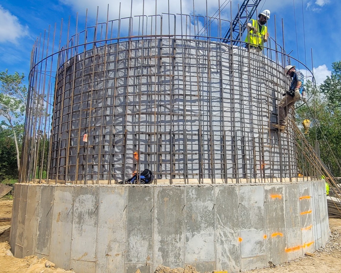
Together, we craft innovative solutions and proudly take ownership of every step forward.
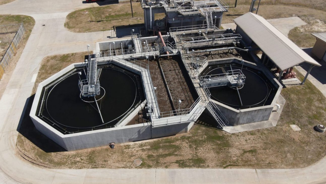
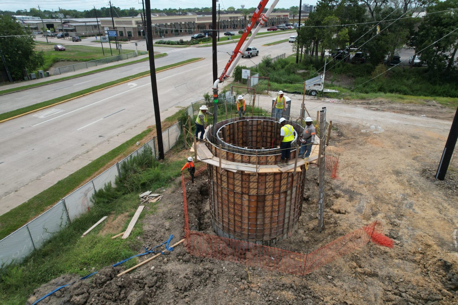
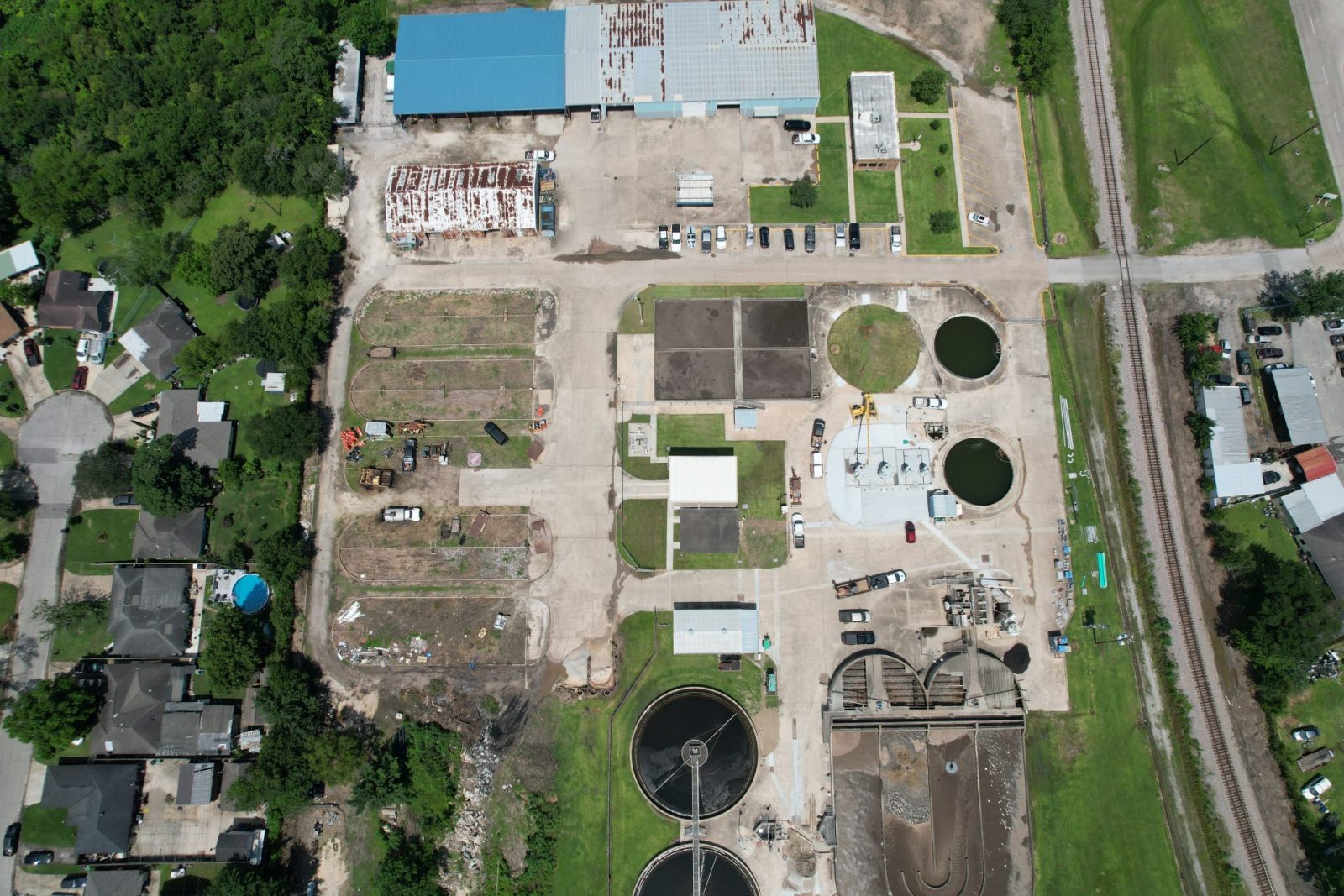
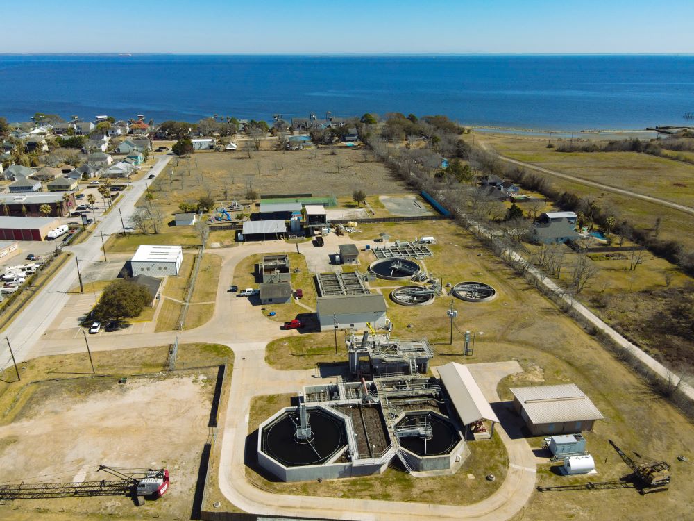
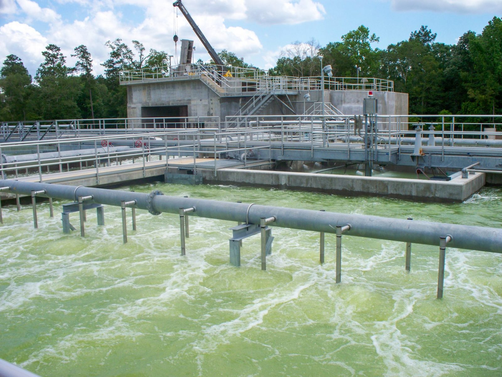
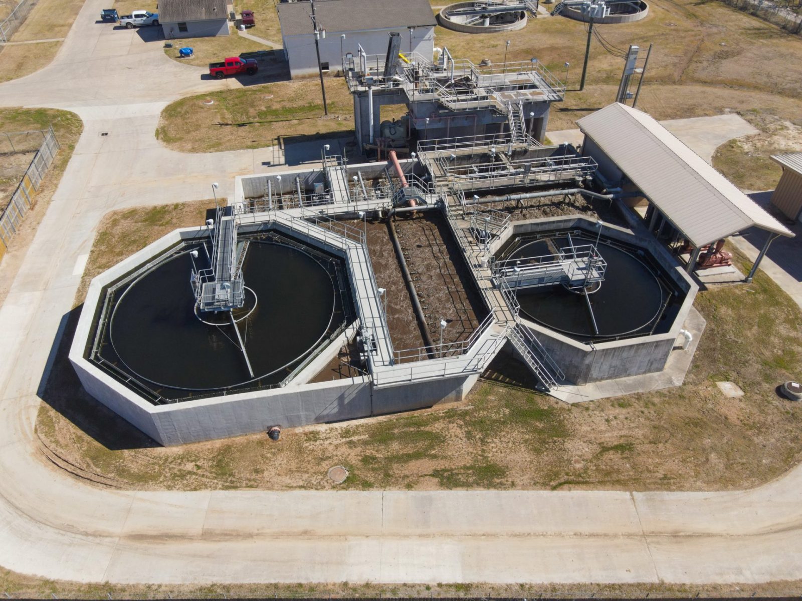
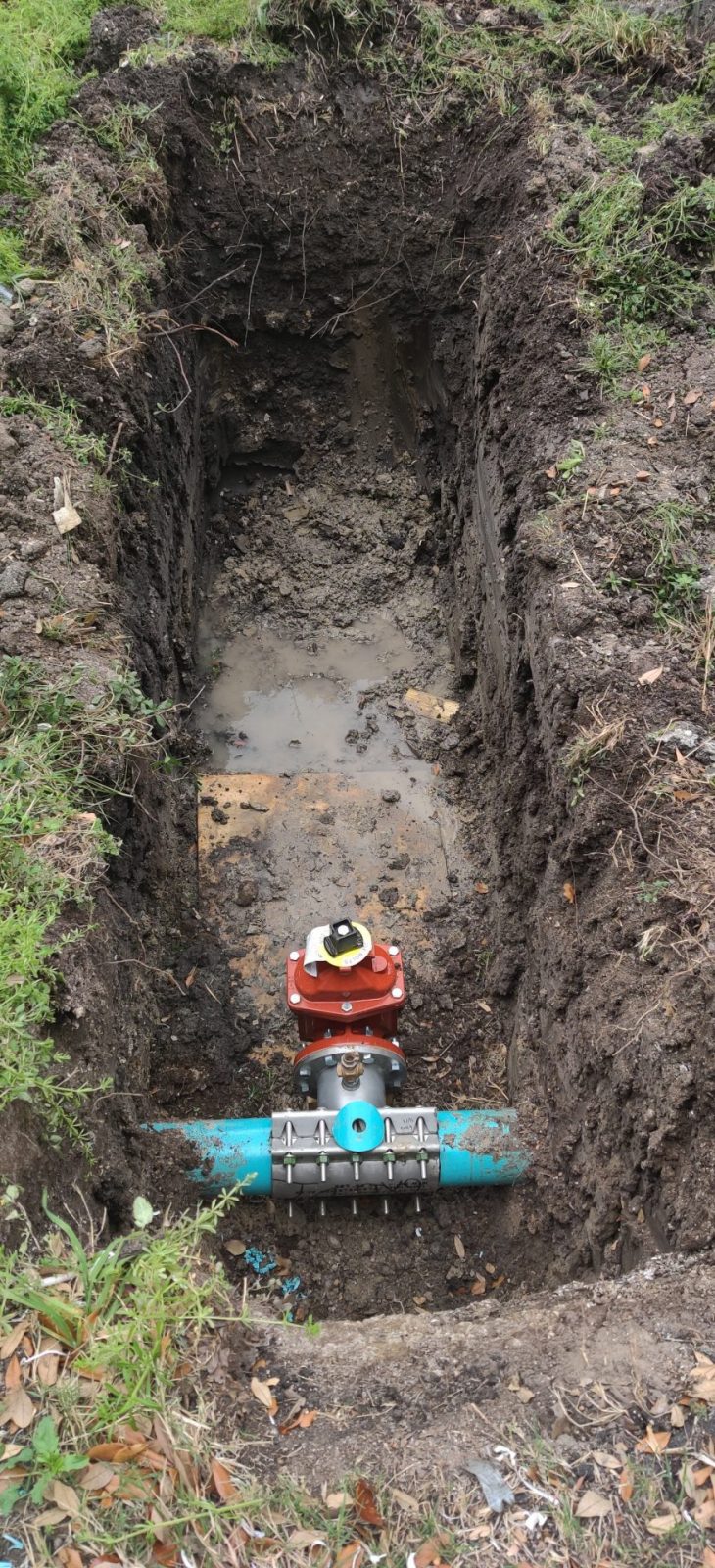
At LJA, we establish long-lasting partnerships with our clients, assisting them in managing, enhancing and rehabilitating water and wastewater systems. We cater to cities, municipalities and utility providers, meeting a diverse range of needs under varying conditions. Our engineering design and planning services cover every phase of site development, from the inception of planning through evaluation and funding, to design and construction management.
Whether the task is to permit and design a new water or wastewater system, or to rejuvenate and expand existing infrastructure, our personnel have the wealth of experience necessary to provide cost-effective and sustainable solutions tailored to our client’s needs.
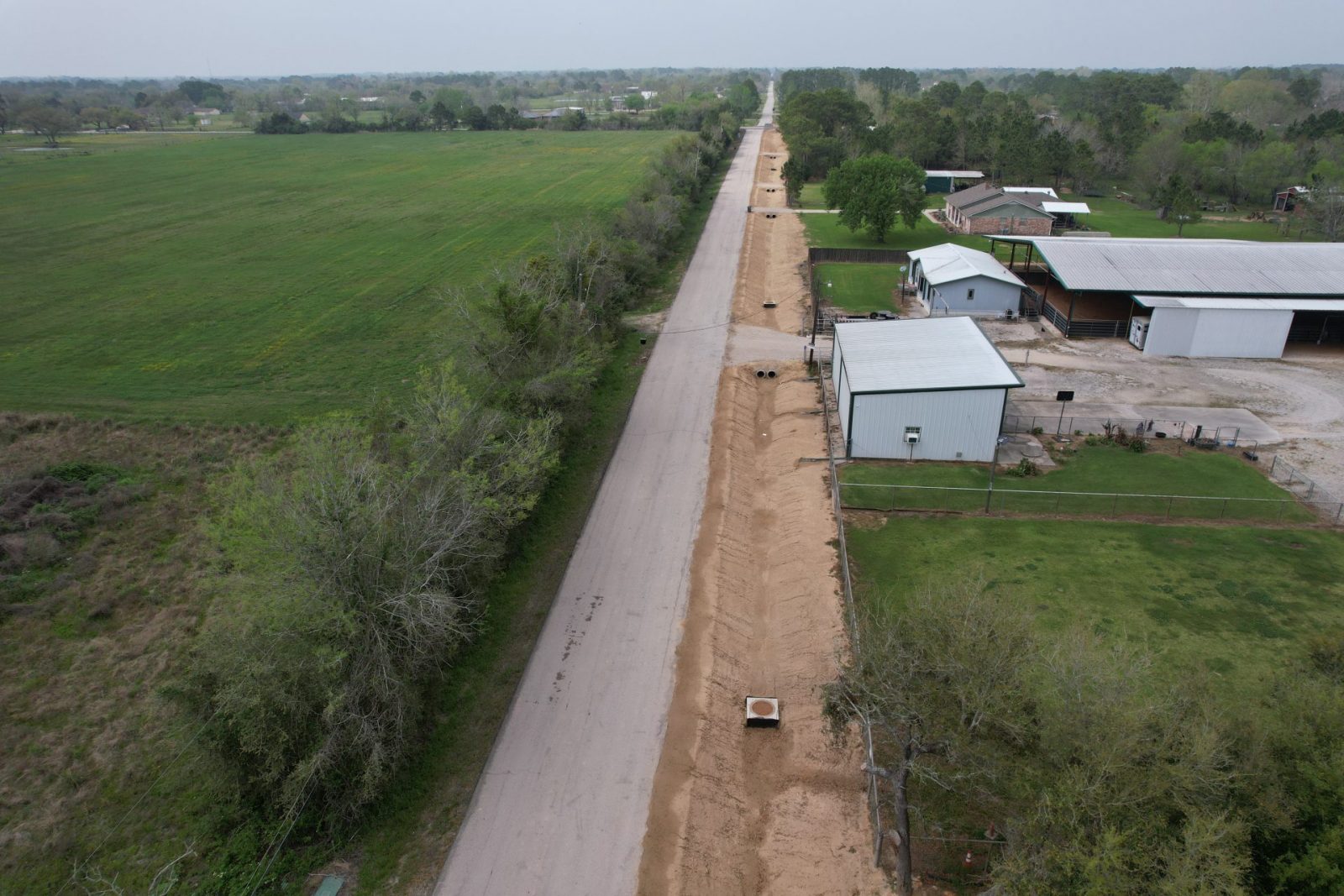
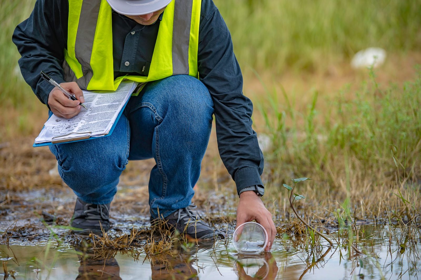
As leading specialists in compliance with NPDES permit requirements, we devise and implement strategic programs that not only meet all pertinent state and federal regulations efficiently, but also enhance natural resources within communities.
Our Stormwater Compliance Division stands ready to support your specific needs. Whether you require assistance in complying with your Municipal Separate Storm Sewer System (MS4) permit, the development of a Stormwater Pollution Prevention Plan (SWP3) or comprehensive consulting services surrounding water quality issues, we are your trusted partner.
We are home to a team of over 125 dedicated personnel skilled in flood control, making LJA a comprehensive powerhouse serving both public and private sectors. Recognized locally, regionally and nationally, our team makes a significant impact in safeguarding people, strengthening communities, and protecting the environment.
As we navigate the intricate world of water resources, our offerings expand across various essential services:
From initial planning to sustainable implementation, see how our services intertwine to create impactful solutions that empower communities.