Imagine that a manufacturing company breaks ground on a multi-million-dollar facility expansion, only to see construction halted abruptly just weeks into the project. The issue? The foundation footprint extended a few feet beyond the property line, encroaching on an adjacent commercial parcel. It’s an oversight that will result in months of costly redesigns, legal negotiations, and project delays—all avoidable with a simple boundary survey.
Whether you’re acquiring land for development, expanding existing facilities, or planning infrastructure for industrial operations, boundary surveys are crucial. Taking the time to complete one can protect you against major financial setbacks—and ensure your project advances smoothly from concept to completion.
Breaking Down Boundary Surveys
Boundary surveys determine the exact physical limits of commercial properties, translating legal descriptions into precise markers that define ownership lines. When commercial developers acquire parcels for retail centers or industrial facilities invest in infrastructure upgrades, precise boundaries establish clear ownership rights that protect against encroachment claims and potential litigation. These surveys often become critical documentation in property transactions, directly influencing valuations and financing terms.
Parts of a Boundary Survey
For impending developments with substantial investments at stake, a boundary survey provides a level of certainty where ambiguity could otherwise lead to costly consequences. A thorough boundary survey comprises several essential elements working together to establish definitive property lines:
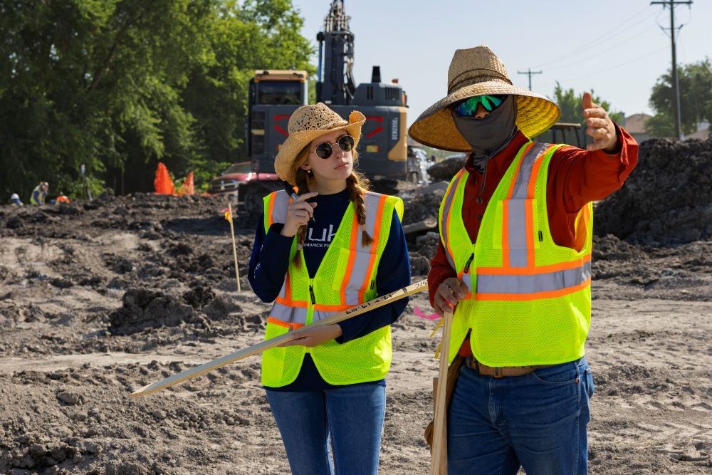
- Records Research: Surveyors examine historical deeds, plats, easements, and right-of-way documentation to understand the legal intent behind property boundaries.
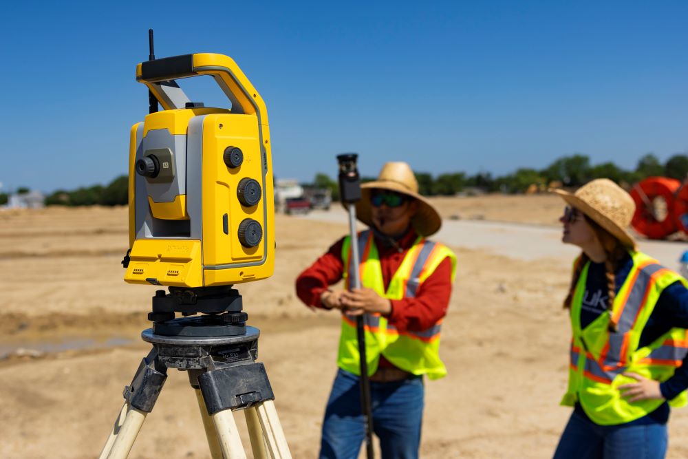
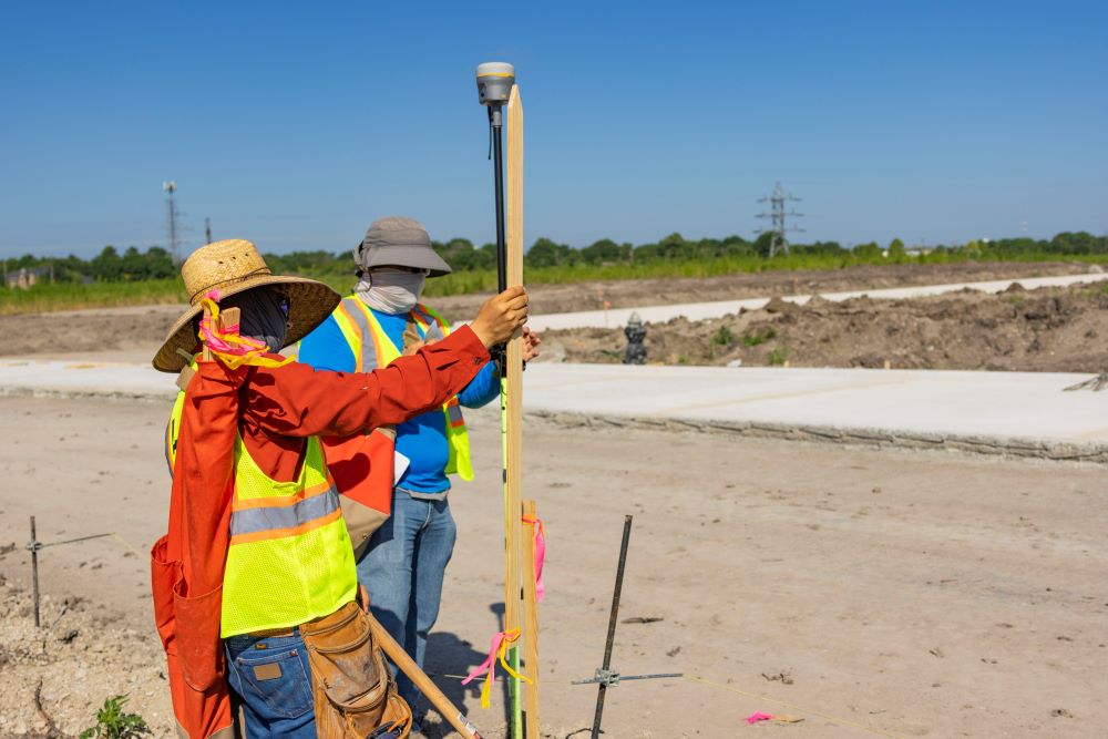
- Field Measurements: Using precision equipment, surveyors collect physical measurements to correlate legal descriptions with existing conditions, accounting for landmarks, structures, and topographical features.
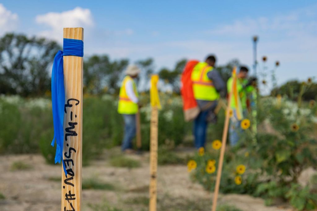
- Monument Identification: Physical markers (iron pins, concrete monuments, or historical markers) are located or established to permanently mark boundary corners.
- Final Documentation: The completed survey plat provides a clear visual representation of boundaries, easements, encroachments, and improvements, becoming a legally binding record of the property’s dimensions.l properties.
Common Boundary Issues and Complications
When it comes to commercial and industrial zoning, boundaries often exist in a state of uncertainty—that is, until they’re properly surveyed. Boundary surveys bring clarity to ambiguous situations, transforming legal abstractions and assumptions into definitive physical realities that owners and developers can confidently build upon.
When precision matters—as it inevitably does with significant investments—resolving these common complications becomes a fundamental purpose of surveying:
- Historical Use Patterns. Long-term usage patterns sometimes create de facto boundaries that differ from legal ones. For instance, if a warehouse has accessed a loading area using the same route for decades, the established pattern may create prescriptive rights that only a thorough boundary survey can properly identify and document.
- Conflicting Legal Descriptions. Historical deed inconsistencies can create overlapping claims where multiple documents describe the same boundary differently. For industrial complexes assembled from multiple parcels over decades, these conflicts require careful resolution through deed analysis—and sometimes legal clarification.
- Easement Complications. Commercial and industrial properties frequently contain multiple utility easements, access corridors, and maintenance rights-of-way that affect development potential. Identifying encumbrances—some of which may be improperly recorded or undocumented—can inform proper operational planning.
- Riparian Boundary Shifts. Industrial properties adjacent to waterways face particular challenges—especially as natural water boundaries shift over time through erosion or accretion. Changing geography can impact property lines for waterfront industrial facilities, requiring specialized boundary determinations.
- Zoning Buffer Requirements. Many industrial and commercial properties need to maintain specific buffer zones between certain operations and adjacent properties or sensitive areas. Accurate boundary surveys establish precisely where these buffers begin, to ensure regulatory compliance.
When are Boundary Surveys Neccessary
Boundary surveys become a tool for dispelling ambiguity at various critical junctures in property transaction and development. Some of the most common situations that can (and should) trigger a boundary survey include:
- Property Acquisitions: Before purchasing industrial sites, warehouses, or commercial parcels, boundary surveys verify exact dimensions and identify any encroachments that might affect utilization or valuation.
- Development Planning: When designing manufacturing facilities or distribution centers, accurate boundaries ensure compliance with setback requirements and prevent inadvertent encroachments onto neighboring properties.
- Subdividing Land: Industrial park developers and commercial property owners subdividing large parcels rely on boundary surveys to create legally compliant lots that maximize land utilization while meeting zoning requirements.
- Infrastructure Projects: When installing utilities, access roads, or drainage systems to support industrial operations, boundary certainty prevents inadvertent trespassing or improper placements.
- Due Diligence Requirements: Lenders financing commercial real estate transactions and title insurance companies often require recent boundary surveys as a condition of closing, particularly for high-value industrial properties.
Proactively commissioning boundary surveys at these critical moments acts as an insurance policy against future disputes, regulatory complications, and development delays. Ultimately, a successful survey has the potential to protect project investments and timelines.
Surveying for Boundary Certainty
When it comes to land development, uncertainty represents risk—and few uncertainties prove more costly than ambiguous property boundaries. Property owners, investors, and developers alike can’t afford to burden the risk of unknown boundary lines. A boundary survey has the potential to unlock insights that mitigate risk, turning unknowns into certainties.
If you’re dealing with uncertain borders and boundaries, contact LJA Engineering for boundary surveying services. We’ll help you get the clarity and confidence your next commercial or industrial project demands.