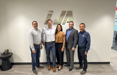
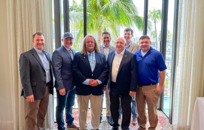
LJA Expands Presence in Florida with Addition of Team from Agnoli, Barber, & Brundage, Inc. View Full Article
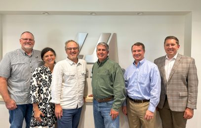
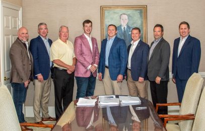
LJA Strengthens Presence in South Carolina with addition of Freeland & Kauffman, Inc. View Full Article
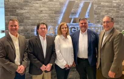
LJA Engineering Expands Land Development and Construction Management Services In Phoenix View Full Article